1984 Map of Potosi
USGS Topo · Published 1992About this map
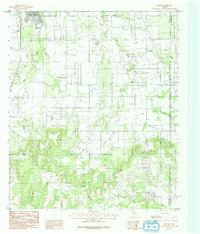
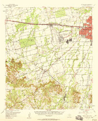
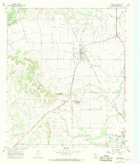
The community of Potosi anchors this 1984 topographical survey of the borderlands between Taylor and Callahan counties. The landscape transitions from the relatively flat terrain near the Abilene Corporate Bdy in the northwest to the more dramatic topography of the southern reaches, where the high ridge of the Divide separates drainage basins. This area is defined by its watercourses, including Lytle Creek and Cedar Creek, which wind through the northern sections, while the South Prong Pecan Bayou emerges in the southeast corner. Below the prominent escarpment, hidden pockets like Bear Cove and Lytle Cove provide geographic markers for local land use and ranching history. Multiple Oil Wells dot the southern hills, reflecting the region's energy production in the mid-1970s and 1980s, while the sparse road network emphasizes the rural character of the area just outside the expanding city limits.
Find a feature on this map
12 named features on this map. Tap any name to fly to it.
Don’t see what you’re looking for? This feature index may not catch every label — zoom into the map to look around manually.
Map Details
Editions of this 1984 Potosi Map
This is the sole edition of this map. No revisions or reprints were ever made.
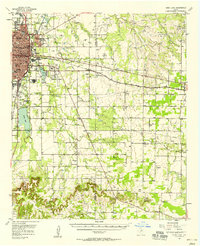
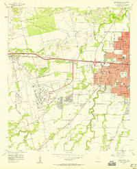
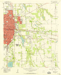
Other maps of this area

1890 · Abilene
USGS Topo · 1:125,000

1892 · Abilene
USGS Topo · 1:125,000

1954 · Abilene
USGS Topo · 1:250,000
1957 · Kirby Lake
USGS Topo · 1:62,500
1957 · Abilene West
USGS Topo · 1:24,000
1957 · Abilene East
USGS Topo · 1:24,000
1957 · Buffalo Gap
USGS Topo · 1:62,500

1958 · Abilene
USGS Topo · 1:250,000
1967 · Tuscola
USGS Topo · 1:24,000
1967 · Lawn
USGS Topo · 1:24,000