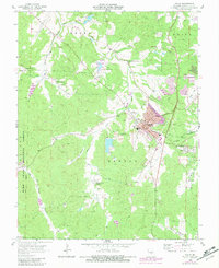
1958 Map of Potosi
USGS Topo · Published 1982About this map
Potosi serves as the focal point of this Washington County survey, revealing a landscape deeply marked by its mineral-rich heritage. Numerous unnamed Mine and Mines dot the terrain, particularly around the town center and extending toward Springtown. The industrial footprint is further evidenced by several Tailings Ponds and a Sewage Disposal plant. Transport in the region is dominated by the Missouri Pacific railroad, which skirts the eastern edge of the township, while the west is characterized by the expansive Mark Twain National Forest.
Find a feature on this map
39 named features on this map. Tap any name to fly to it.
Don’t see what you’re looking for? This feature index may not catch every label — zoom into the map to look around manually.
Map Details
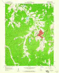
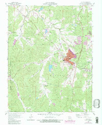
Editions of this 1958 Potosi Map
3 editions found
Other maps of this area

1901 · De Soto
USGS Topo · 1:125,000

1905 · Bonneterre
USGS Topo · 1:62,500

1906 · Potosi
USGS Topo · 1:62,500

1937 · Tiff
USGS Topo · 1:24,000

1939 · Tiff
USGS Topo · 1:24,000

1946 · Richwoods
USGS Topo · 1:62,500

1948 · Richwoods
USGS Topo · 1:62,500

1949 · Saint Louis
USGS Topo · 1:250,000

1949 · Rolla
USGS Topo · 1:250,000

1953 · Rolla
USGS Topo · 1:250,000