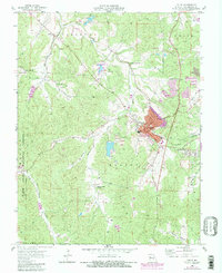
1958 Map of Potosi
USGS Topo · Published 1982About this map
The town of Potosi serves as the focal point of this Washington County survey, where the town’s growth is traced against a landscape defined by industrial history. Extensive mines and tailings ponds surrounding the settlement reflect the long-standing extraction economy of the region, specifically along Breton Creek and Keyes Br. The Missouri Pacific railroad connects these industrial sites to the wider world, while smaller rural pockets like Springtown and Latty reveal the era's local community structure.
Find a feature on this map
35 named features on this map. Tap any name to fly to it.
Don’t see what you’re looking for? This feature index may not catch every label — zoom into the map to look around manually.
Map Details
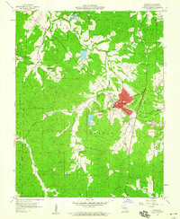
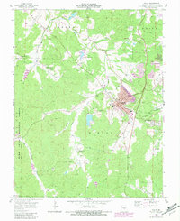
Editions of this 1958 Potosi Map
3 editions found
Other maps of this area

1901 · De Soto
USGS Topo · 1:125,000

1905 · Bonneterre
USGS Topo · 1:62,500

1906 · Potosi
USGS Topo · 1:62,500

1937 · Tiff
USGS Topo · 1:24,000

1939 · Tiff
USGS Topo · 1:24,000

1946 · Richwoods
USGS Topo · 1:62,500

1948 · Richwoods
USGS Topo · 1:62,500

1949 · Saint Louis
USGS Topo · 1:250,000

1949 · Rolla
USGS Topo · 1:250,000

1953 · Rolla
USGS Topo · 1:250,000