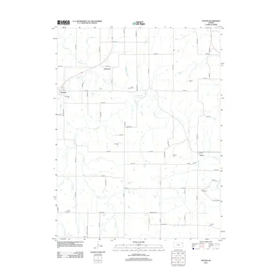
2012 Map of Potter
USGS Topo · Published 2012About this map
Stranger Creek and its many tributaries, including Mooney Cr, Crooked Cr, and Howard Cr, define the drainage patterns across this section of Atchison County. Small agricultural settlements anchor the landscape, with Cummings located to the west and Potter in the east, the latter showing a concentrated grid of streets like 2nd St near the creek's edge. The small community of Hawthorne sits further north, marking the intersection of 238th Rd and Ness Rd. For those researching local family history, the map identifies numerous small burial grounds, such as Round Mound Cem, Springhill Cem, and Ashcraft Cem, which are scattered throughout the rural sections. The terrain is crisscrossed by an extensive network of named township roads, from Phillips Rd to Rawlins Rd, which follow the section lines and connect these outlying homesteads and historical cemeteries.
Find a feature on this map
68 named features on this map. Tap any name to fly to it.
Don’t see what you’re looking for? This feature index may not catch every label — zoom into the map to look around manually.
Map Details
Editions of this 2012 Potter Map
This is the sole edition of this map. No revisions or reprints were ever made.
Other maps of this area

1885 · Atchison
USGS Topo · 1:125,000

1886 · Oskaloosa
USGS Topo · 1:125,000

1888 · Oskaloosa
USGS Topo · 1:125,000

1888 · Atchison
USGS Topo · 1:125,000

1893 · Atchison
USGS Topo · 1:125,000

1894 · Oskaloosa
USGS Topo · 1:125,000

1926 · Atchison
USGS Topo · 1:62,500

1948 · Oak Mills
USGS Topo · 1:24,000

1950 · Kansas City
USGS Topo · 1:250,000

1950 · Easton
USGS Topo · 1:24,000