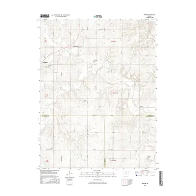
2015 Map of Potter
USGS Topo · Published 2015About this map
The boundary between Atchison, Jefferson, and Leavenworth counties defines this northeastern Kansas landscape, where rural communities and family burial grounds are connected by a network of well-established section roads. The settlement of Potter sits near the eastern edge, while Cummings and Hawthorne anchor the western reaches of the survey. The terrain is deeply carved by the drainage systems of Stranger Cr and Crooked Cr, creating a series of ridges and valleys that historical road planners navigated with routes like Osage Rd and Potter Rd.
Find a feature on this map
70 named features on this map. Tap any name to fly to it.
Don’t see what you’re looking for? This feature index may not catch every label — zoom into the map to look around manually.
Map Details
Editions of this 2015 Potter Map
This is the sole edition of this map. No revisions or reprints were ever made.
Other maps of this area

1885 · Atchison
USGS Topo · 1:125,000

1886 · Oskaloosa
USGS Topo · 1:125,000

1888 · Oskaloosa
USGS Topo · 1:125,000

1888 · Atchison
USGS Topo · 1:125,000

1893 · Atchison
USGS Topo · 1:125,000

1894 · Oskaloosa
USGS Topo · 1:125,000

1926 · Atchison
USGS Topo · 1:62,500

1948 · Oak Mills
USGS Topo · 1:24,000

1950 · Kansas City
USGS Topo · 1:250,000

1950 · Easton
USGS Topo · 1:24,000