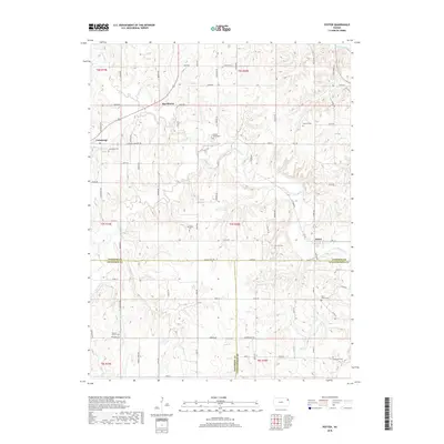
2018 Map of Potter
USGS Topo · Published 2018About this map
Stranger Creek and its many tributaries, including Camp Creek and Mooney Creek, carve a rolling agricultural landscape at the meeting point of Atchison, Jefferson, and Leavenworth Counties. The settlement of Potter anchors the eastern edge of the map, while Cummings and Hawthorne sit further west along the established road network. This 2018 survey reveals a territory deeply marked by its rural heritage, shown through numerous family and community burial grounds such as Ashcraft Cemetery, Round Mound Cemetery, and Springhill Cemetery. The complex network of township roads, such as Curlew-Cummings Road and Rooks North Road, follows the high ridges between drainage basins, illustrating the enduring influence of the Public Land Survey System on the development of these northeastern Kansas communities.
Find a feature on this map
73 named features on this map. Tap any name to fly to it.
Don’t see what you’re looking for? This feature index may not catch every label — zoom into the map to look around manually.
Map Details
Editions of this 2018 Potter Map
This is the sole edition of this map. No revisions or reprints were ever made.
Other maps of this area

1885 · Atchison
USGS Topo · 1:125,000

1886 · Oskaloosa
USGS Topo · 1:125,000

1888 · Oskaloosa
USGS Topo · 1:125,000

1888 · Atchison
USGS Topo · 1:125,000

1893 · Atchison
USGS Topo · 1:125,000

1894 · Oskaloosa
USGS Topo · 1:125,000

1926 · Atchison
USGS Topo · 1:62,500

1948 · Oak Mills
USGS Topo · 1:24,000

1950 · Kansas City
USGS Topo · 1:250,000

1950 · Easton
USGS Topo · 1:24,000