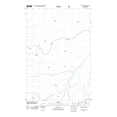
2011 Map of Potter Hill
USGS Topo · Published 2011About this map
Cloverland sits at the edge of this high-plateau landscape, where the agricultural flats of southeastern Washington break into a complex system of deep gulches and steep ridges. The terrain is defined by its water sources, with family-named features like Laufer Spring, Buckley Springs, Foredyce Spring, and Schuelke Spring providing critical points of interest in an otherwise arid drainage network. These springs often correlate with the early ranching and homesteading history of Asotin County, marking locations where geography allowed for settlement.
Find a feature on this map
32 named features on this map. Tap any name to fly to it.
Don’t see what you’re looking for? This feature index may not catch every label — zoom into the map to look around manually.
Map Details
Editions of this 2011 Potter Hill Map
This is the sole edition of this map. No revisions or reprints were ever made.
Other maps of this area

1943 · Peola
USGS Topo · 1:62,500

1943 · Saddle Butte
USGS Topo · 1:62,500

1944 · Anatone
USGS Topo · 1:62,500

1945 · Clarkston
USGS Topo · 1:62,500

1946 · Saddle Butte
USGS Topo · 1:62,500

1946 · Peola
USGS Topo · 1:62,500

1946 · Anatone
USGS Topo · 1:62,500

1948 · Clarkston
USGS Topo · 1:62,500

1955 · Pullman
USGS Topo · 1:250,000

1958 · Pullman
USGS Topo · 1:250,000