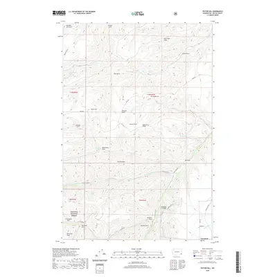
2020 Map of Potter Hill
USGS Topo · Published 2020About this map
Cloverland sits at the southeastern corner of this study, marking a transition into the elevated terrain of the Umatilla National Forest. The landscape is defined by a complex network of ridges and gulches that drain toward the S Fork Asotin Cr. Notable high points like Potter Hill, Bracken Point, and The Gooseneck overlook deep drainages such as Bachelor Gulch and Sourdough Gulch. The area’s water sources are numerous, with family-named or descriptive springs including Rimmelspacher Spring, Laufer Spring, and Blankenship Spring dotted across the slopes. Transportation routes like Peola Rd and Charley Creek Rd wind through the topography, connecting the ridge-tops to the creek bottoms. This map documents a region where grazing, timber, and watershed management are central to the land's character.
Find a feature on this map
49 named features on this map. Tap any name to fly to it.
Don’t see what you’re looking for? This feature index may not catch every label — zoom into the map to look around manually.
Map Details
Editions of this 2020 Potter Hill Map
This is the sole edition of this map. No revisions or reprints were ever made.
Other maps of this area

1943 · Peola
USGS Topo · 1:62,500

1943 · Saddle Butte
USGS Topo · 1:62,500

1944 · Anatone
USGS Topo · 1:62,500

1945 · Clarkston
USGS Topo · 1:62,500

1946 · Saddle Butte
USGS Topo · 1:62,500

1946 · Peola
USGS Topo · 1:62,500

1946 · Anatone
USGS Topo · 1:62,500

1948 · Clarkston
USGS Topo · 1:62,500

1955 · Pullman
USGS Topo · 1:250,000

1958 · Pullman
USGS Topo · 1:250,000