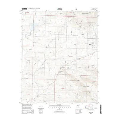
2014 Map of Potter
USGS Topo · Published 2014About this map
Potter and the western outskirts of Mena occupy this portion of Polk County, where the valley floor meets the rising peaks of the Ouachita National Forest. The Kansas City Southern railroad serves as a primary corridor through the terrain, connecting the smaller settlements of Potter Junction and Shady Grove. Genealogical data is prevalent across the landscape, with numerous burial grounds such as Rocky Cem, Foster Cem, and McKinney Cem marking the legacy of early families.
Find a feature on this map
121 named features on this map. Tap any name to fly to it.
Don’t see what you’re looking for? This feature index may not catch every label — zoom into the map to look around manually.
Map Details
Editions of this 2014 Potter Map
This is the sole edition of this map. No revisions or reprints were ever made.
Other maps of this area

1890 · Poteau Mountain
USGS Topo · 1:125,000

1899 · Poteau Mountain
USGS Topo · 1:125,000

1913 · De Queen
USGS Topo · 1:125,000

1950 · Mcalester
USGS Topo · 1:250,000

1958 · Mena
USGS Topo · 1:62,500

1958 · Potter
USGS Topo · 1:62,500

1958 · Zafra
USGS Topo · 1:24,000

1958 · Mena
USGS Topo · 1:24,000

1958 · Rich Mountain
USGS Topo · 1:24,000
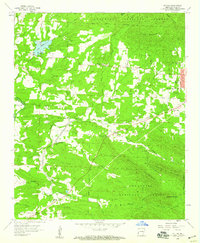
1958 · Potter
USGS Topo · 1:24,000