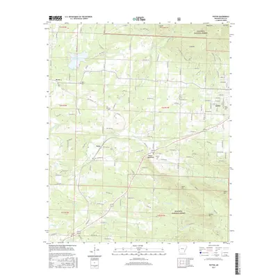
2017 Map of Potter
USGS Topo · Published 2017About this map
Lake Wilhelmina anchors the northwest corner of this Polk County landscape, which transitions from the forested slopes of the Ouachita National Forest into the settled corridors along the Arkansas-Oklahoma border. The small communities of Potter and Potter Junction serve as central nodes, connected by a network of rural routes such as Polk Road 170 and Polk Road 42. To the east, the edge of Mena appears with its residential grid, while the western reaches include the hamlet of Rocky.
Find a feature on this map
90 named features on this map. Tap any name to fly to it.
Don’t see what you’re looking for? This feature index may not catch every label — zoom into the map to look around manually.
Map Details
Editions of this 2017 Potter Map
This is the sole edition of this map. No revisions or reprints were ever made.
Other maps of this area

1890 · Poteau Mountain
USGS Topo · 1:125,000

1899 · Poteau Mountain
USGS Topo · 1:125,000

1913 · De Queen
USGS Topo · 1:125,000

1950 · Mcalester
USGS Topo · 1:250,000

1958 · Mena
USGS Topo · 1:62,500

1958 · Potter
USGS Topo · 1:62,500

1958 · Zafra
USGS Topo · 1:24,000

1958 · Mena
USGS Topo · 1:24,000

1958 · Rich Mountain
USGS Topo · 1:24,000
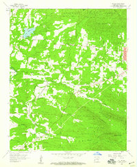
1958 · Potter
USGS Topo · 1:24,000