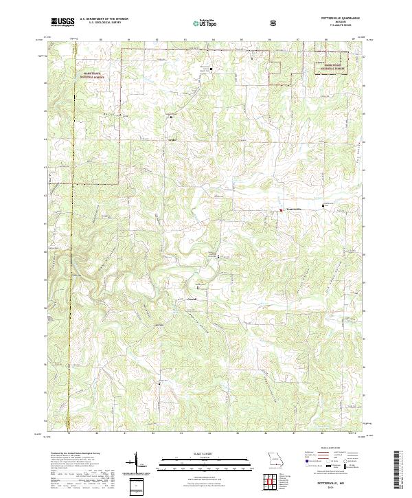
2021 Map of Pottersville
USGS Topo · Published 2021About this map
Pottersville and the surrounding rural landscape of Howell County are defined by a network of hollows and ridges that dictated early Ozark settlement patterns. Small communities like Crider and Cureall are situated at key junctions, often near water sources such as Cureall Spring or Wilson Spring. The map reveals a high concentration of localized burial sites and churches, including the Union Grove General Baptist Cemetery and Gospel Hill Church of Christ, which suggest long-standing family ties and established community hubs in this part of Missouri.
Find a feature on this map
92 named features on this map. Tap any name to fly to it.
Don’t see what you’re looking for? This feature index may not catch every label — zoom into the map to look around manually.
Map Details
Editions of this 2021 Pottersville Map
This is the sole edition of this map. No revisions or reprints were ever made.
Other maps of this area

1939 · Topaz
USGS Topo · 1:62,500

1941 · Topaz
USGS Topo · 1:62,500

1944 · West Plains
USGS Topo · 1:62,500

1944 · Cureall
USGS Topo · 1:62,500

1945 · Harrison
USGS Topo · 1:250,000

1945 · Willow Springs
USGS Topo · 1:62,500

1946 · West Plains
USGS Topo · 1:62,500

1946 · Cureall
USGS Topo · 1:62,500

1948 · Willow Springs
USGS Topo · 1:62,500

1949 · Harrison
USGS Topo · 1:250,000