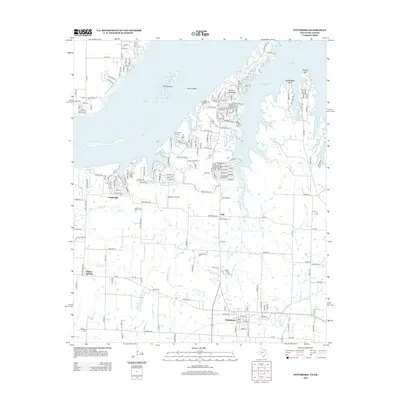
2013 Map of Pottsboro
USGS Topo · Published 2013About this map
Pottsboro and the expansive shoreline of Lake Texoma anchor this northern Texas landscape, where the reservoir's complex geography creates numerous points and inlets. The terrain is defined by the Little Mineral Arm and prominent landforms such as Preston Peninsula, Grandpappy Point, and Rocky Point, which shape the local community and recreational access. While modern aviation is represented by Hitex Private Airport and Diamond J Airport, the map also preserves traces of older transportation and community life through Henderson Ferry and rural settlements like Fink, Cambridge, and Willow Spring.
Find a feature on this map
187 named features on this map. Tap any name to fly to it.
Don’t see what you’re looking for? This feature index may not catch every label — zoom into the map to look around manually.
Map Details
Editions of this 2013 Pottsboro Map
This is the sole edition of this map. No revisions or reprints were ever made.
Other maps of this area

1901 · Denison
USGS Topo · 1:125,000

1954 · Sherman
USGS Topo · 1:250,000

1957 · Denison Dam
USGS Topo · 1:24,000

1958 · Gordonville
USGS Topo · 1:62,500

1958 · Denison Dam
USGS Topo · 1:62,500

1958 · Sherman NW
USGS Topo · 1:24,000

1958 · Whitesboro
USGS Topo · 1:62,500

1958 · Sherman
USGS Topo · 1:250,000

1958 · Sherman
USGS Topo · 1:62,500

1958 · Sherman
USGS Topo · 1:24,000