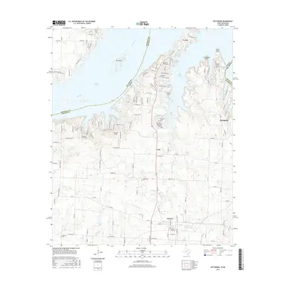
2016 Map of Pottsboro
USGS Topo · Published 2016About this map
Lake Texoma and the Red River define the northern boundary of this region, where the state line between Texas and Oklahoma weaves through the water. The landscape is characterized by prominent landforms like Preston Peninsula and Grandpappy Point, which extend into the Little Mineral Arm. Small inland settlements such as Fink and Pottsboro are connected by a network of farm-to-market roads and local routes, including FM 996.
Find a feature on this map
147 named features on this map. Tap any name to fly to it.
Don’t see what you’re looking for? This feature index may not catch every label — zoom into the map to look around manually.
Map Details
Editions of this 2016 Pottsboro Map
This is the sole edition of this map. No revisions or reprints were ever made.
Other maps of this area

1901 · Denison
USGS Topo · 1:125,000

1954 · Sherman
USGS Topo · 1:250,000

1957 · Denison Dam
USGS Topo · 1:24,000

1958 · Gordonville
USGS Topo · 1:62,500

1958 · Denison Dam
USGS Topo · 1:62,500

1958 · Sherman NW
USGS Topo · 1:24,000

1958 · Whitesboro
USGS Topo · 1:62,500

1958 · Sherman
USGS Topo · 1:250,000

1958 · Sherman
USGS Topo · 1:62,500

1958 · Sherman
USGS Topo · 1:24,000