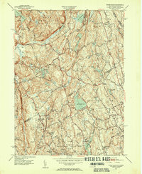
1951 Map of Pound Ridge
USGS Topo · Published 1953About this map
The Pound Ridge Reservation and the surrounding borderlands of Westchester County and Fairfield County are meticulously detailed in this early 1950s survey. The landscape is defined by its dramatic hydrography, featuring major catchments like the Laurel Reservoir, Trinity Lake, and the winding Stone Hill River. Settlement patterns are concentrated at crossroads such as Scotts Corners and Sellecks Corners, while the backcountry is dotted with small family burial grounds including the Knapp-Barhite Cem and Hoyt Cem. The map illustrates a transitional era for the region, where older institutional landmarks like the Bernardine Convent and County Farm exist alongside the developing residential outskirts of New Canaan. Local genealogists will find significant value in the preservation of numerous small church and cemetery locations, such as St Pauls Ch and the Long Ridge Union Cem, which anchor the early identity of these hill towns.
Find a feature on this map
75 named features on this map. Tap any name to fly to it.
Don’t see what you’re looking for? This feature index may not catch every label — zoom into the map to look around manually.
Map Details
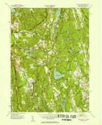
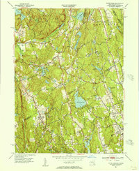
Editions of this 1951 Pound Ridge Map
3 editions found
Other maps of this area

1892 · Stamford
USGS Topo · 1:62,500

1892 · Danbury
USGS Topo · 1:62,500

1892 · Norwalk
USGS Topo · 1:62,500

1892 · Carmel
USGS Topo · 1:62,500

1893 · Carmel
USGS Topo · 1:62,500

1893 · Stamford
USGS Topo · 1:62,500

1893 · Norwalk
USGS Topo · 1:62,500

1894 · Carmel
USGS Topo · 1:62,500

1899 · Stamford
USGS Topo · 1:62,500

1915 · Danbury
USGS Topo · 1:62,500