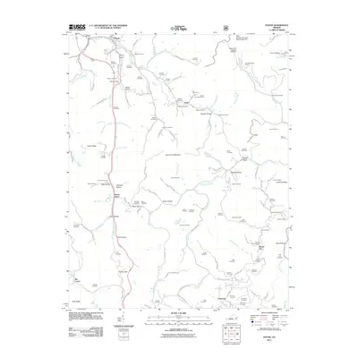
2011 Map of Pound
USGS Topo · Published 2011About this map
Pound is the primary settlement on this Virginia landscape, situated where the Pound River meets Indian Creek. The map shows a region defined by its rugged topography, featuring prominent landmarks like Bold Camp Mountain and Indian Ridge. Settlement patterns follow the winding creek beds and narrow hollows, with small communities and landmarks like Hugh, Lanes Store, and Peaks Store providing local commerce hubs. The industrial character of the area is highlighted by the Clinchfield Moss Mines in the northeast.
Find a feature on this map
143 named features on this map. Tap any name to fly to it.
Don’t see what you’re looking for? This feature index may not catch every label — zoom into the map to look around manually.
Map Details
Editions of this 2011 Pound Map
This is the sole edition of this map. No revisions or reprints were ever made.
Other maps of this area

1886 · Grundy
USGS Topo · 1:125,000

1890 · Whitesburg
USGS Topo · 1:125,000

1890 · Grundy
USGS Topo · 1:125,000

1892 · Grundy
USGS Topo · 1:125,000

1892 · Whitesburg
USGS Topo · 1:125,000

1894 · Estillville
USGS Topo · 1:125,000

1897 · Bristol
USGS Topo · 1:125,000

1902 · Bristol
USGS Topo · 1:125,000

1912 · Pound
USGS Topo · 1:48,000

1913 · Clintwood
USGS Topo · 1:62,500