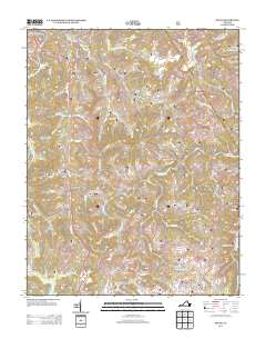
2013 Map of Pound
USGS Topo · Published 2013About this map
The Pound River flows through the northern reaches of this territory, where the town of Pound serves as a primary hub. The landscape is defined by the steep hollows and narrow gaps of the Appalachian highlands, such as Bean Gap, Indian Gap, and Duncan Gap. This 2013 survey records a geography where small settlements and general stores, including Lanes Store and Peaks Store, sit along winding secondary roads that follow the drainage patterns of creeks like Bold Camp Cr and Dotson Cr.
Find a feature on this map
124 named features on this map. Tap any name to fly to it.
Don’t see what you’re looking for? This feature index may not catch every label — zoom into the map to look around manually.
Map Details
Editions of this 2013 Pound Map
This is the sole edition of this map. No revisions or reprints were ever made.
Other maps of this area

1886 · Grundy
USGS Topo · 1:125,000

1890 · Whitesburg
USGS Topo · 1:125,000

1890 · Grundy
USGS Topo · 1:125,000

1892 · Grundy
USGS Topo · 1:125,000

1892 · Whitesburg
USGS Topo · 1:125,000

1894 · Estillville
USGS Topo · 1:125,000

1897 · Bristol
USGS Topo · 1:125,000

1902 · Bristol
USGS Topo · 1:125,000

1912 · Pound
USGS Topo · 1:48,000

1913 · Clintwood
USGS Topo · 1:62,500