
1949 Map of Poverty Bay
USGS Topo · Published 1956About this map
Puget Sound and the high bluffs overlooking Poverty Bay define this mid-century landscape along the King and Pierce County line. Just before the post-war suburban boom transformed the region, the area remains a collection of distinct small communities and rural tracts. The Pacific Highway and Military Road serve as the primary north-south arteries, connecting coastal settlements like Woodmont Beach and Redondo to inland hubs like Algona and Milton.
Find a feature on this map
42 named features on this map. Tap any name to fly to it.
Don’t see what you’re looking for? This feature index may not catch every label — zoom into the map to look around manually.
Map Details
Editions of this 1949 Poverty Bay Map
This is the sole edition of this map. No revisions or reprints were ever made.
Other maps of this area

1897 · Tacoma
USGS Topo · 1:125,000

1900 · Tacoma
USGS Topo · 1:125,000

1941 · Tacoma South
USGS Topo · 1:62,500

1942 · Lake Tapps
USGS Topo · 1:62,500

1944 · Lake Tapps
USGS Topo · 1:62,500

1944 · Tacoma South
USGS Topo · 1:62,500

1949 · Tacoma North
USGS Topo · 1:24,000

1949 · Renton
USGS Topo · 1:24,000
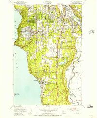
1949 · Des Moines
USGS Topo · 1:24,000
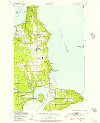
1949 · Vashon
USGS Topo · 1:24,000