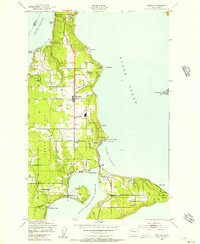
1949 Map of Vashon
USGS Topo · Published 1956About this map
Vashon Island and Maury Island are depicted here as a landscape of interconnected maritime settlements and coastal hills during the late 1940s. The map illustrates a community anchored by its shoreline, with a high density of small waterfront communities such as Ellisport, Burton, and Magnolia Beach. Central development is concentrated around Vashon and Vashon Center, where the Vashon Sch and various Greenhouses indicate the island's agricultural and civic foundations.
Find a feature on this map
45 named features on this map. Tap any name to fly to it.
Don’t see what you’re looking for? This feature index may not catch every label — zoom into the map to look around manually.
Map Details
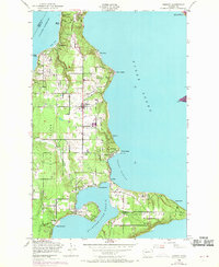
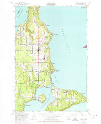
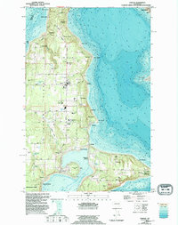
Editions of this 1949 Vashon Map
4 editions found
Other maps of this area

1894 · Seattle
USGS Topo · 1:62,500

1895 · Snohomish
USGS Topo · 1:125,000

1897 · Tacoma
USGS Topo · 1:125,000

1897 · Seattle
USGS Topo · 1:125,000

1900 · Tacoma
USGS Topo · 1:125,000

1908 · Seattle
USGS Topo · 1:62,500

1909 · Seattle Special
USGS Topo · 1:62,500

1937 · Port Orchard
USGS Topo · 1:62,500

1942 · Gig Harbor
USGS Topo · 1:62,500

1943 · Gig Harbor
USGS Topo · 1:62,500