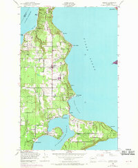
1949 Map of Vashon
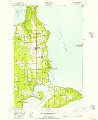
USGS Topo · Published 1969About this map
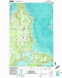
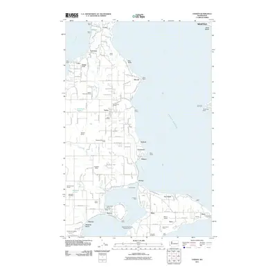
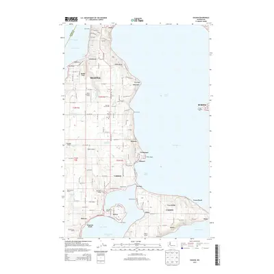
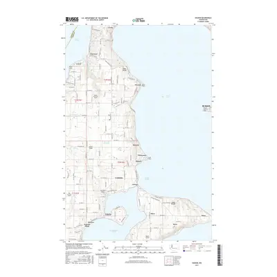
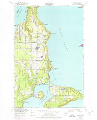
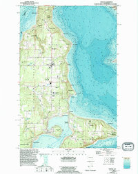
Vashon Island and Maury Island are captured here in a period of postwar transition, showing the maritime and agricultural landscape of King County shortly before significant late-century suburbanization. The central corridor is anchored by the community of Vashon, extending south through Vashon Center to the narrow isthmus at Portage. This land bridge connects to the smaller landmass of Maury Island, where the settlement of Mileta and a Quarry indicate the local industrial activity of the era. The coastline is dotted with numerous small beach communities such as Sylvan Beach, Glen Acres, and Magnolia Beach, many of which served as ferry-connected retreats and local hubs.
Find a feature on this map
41 named features on this map. Tap any name to fly to it.
Don’t see what you’re looking for? This feature index may not catch every label — zoom into the map to look around manually.
Map Details
Editions of this 1949 Vashon Map
4 editions found
Historical Maps of Seattle Through Time
7 maps found