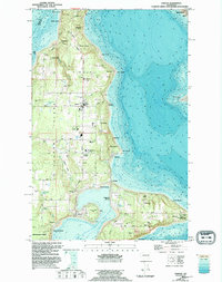
1949 Map of Vashon
USGS Topo · Published 1995About this map
Vashon Island Highway serves as the central spine for this Puget Sound community, connecting a series of coastal settlements and inland family farms during the mid-twentieth century. The landscape is defined by its maritime orientation, with developed shorelines at Sylvan Beach, Glen Acres, and Ellisport looking out over the Puget Sound East Passage and Colvos Passage. The narrow isthmus at Portage links the main island to Maury Island, where the Point Robinson Maury US Coast Guard Reservation guards the eastern approach. Local infrastructure of the era is remarkably detailed, featuring the Vashon Municipal Airport, the Matsuda Res, and institutional landmarks like the McMurray Sch. The map reveals a transition from traditional marine-access landings like Vashon Landing to a more road-dependent residential pattern, while preserved spaces like Agren Memorial Park and Burton Acres Park hint at the island's emerging recreational character.
Find a feature on this map
78 named features on this map. Tap any name to fly to it.
Don’t see what you’re looking for? This feature index may not catch every label — zoom into the map to look around manually.
Map Details
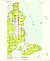
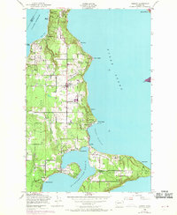
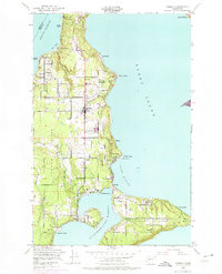
Editions of this 1949 Vashon Map
4 editions found
Other maps of this area

1894 · Seattle
USGS Topo · 1:62,500

1895 · Snohomish
USGS Topo · 1:125,000

1897 · Tacoma
USGS Topo · 1:125,000

1897 · Seattle
USGS Topo · 1:125,000

1900 · Tacoma
USGS Topo · 1:125,000

1908 · Seattle
USGS Topo · 1:62,500

1909 · Seattle Special
USGS Topo · 1:62,500

1937 · Port Orchard
USGS Topo · 1:62,500

1942 · Gig Harbor
USGS Topo · 1:62,500

1943 · Gig Harbor
USGS Topo · 1:62,500