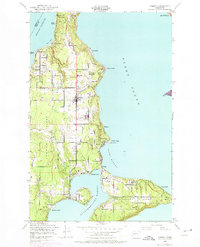
1949 Map of Vashon
USGS Topo · Published 1975About this map
Vashon Island and Maury Island define this coastal landscape as it was mapped mid-century, shortly after World War II. The settlement at Vashon serves as a central hub, while numerous shoreline communities like Sylvan Beach, Glen Acres, and Magnolia Beach suggest a robust waterfront culture. The map shows the intricate relationship between the land and the surrounding waters of Puget Sound and Colvos Passage. Local institutions and gathering spots are noted, including the Vashon Sch, a Cem, and the Island Club. The geography of the islands is highly articulated, from the sheltered Quartermaster Harbor and Tramp Harbor to prominent coastal landmarks such as Point Heyer and Point Beals. Purple revision markings, compiled in the late 1960s, indicate post-war expansion and the emergence of residential clusters such as Klahanie.
Find a feature on this map
42 named features on this map. Tap any name to fly to it.
Don’t see what you’re looking for? This feature index may not catch every label — zoom into the map to look around manually.
Map Details
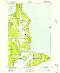
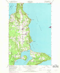
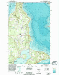
Editions of this 1949 Vashon Map
4 editions found
Other maps of this area

1894 · Seattle
USGS Topo · 1:62,500

1895 · Snohomish
USGS Topo · 1:125,000

1897 · Tacoma
USGS Topo · 1:125,000

1897 · Seattle
USGS Topo · 1:125,000

1900 · Tacoma
USGS Topo · 1:125,000

1908 · Seattle
USGS Topo · 1:62,500

1909 · Seattle Special
USGS Topo · 1:62,500

1937 · Port Orchard
USGS Topo · 1:62,500

1942 · Gig Harbor
USGS Topo · 1:62,500

1943 · Gig Harbor
USGS Topo · 1:62,500