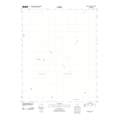
2011 Map of Poverty Flat
USGS Topo · Published 2011About this map
Paria Plateau dominates this high-desert landscape in Coconino County, characterized by remote terrain and localized depressions. The central geography is defined by Poverty Flat and the adjacent Sand Hills, where the isolated Sandhill Ranch Airport serves as the primary evidence of human infrastructure in this arid expanse. The map details several natural catchment areas and geologic formations such as White Pocket, Red Pocket, and Big Pocket, alongside the expansive Big Sink. To the north and south, the terrain is framed by prominent rises including Wolf Knoll and the jagged profile of Pinnacle Ridge. This 2011 survey records a region where wind and water have shaped the surface of the plateau, leaving a sparse network of landmarks across the northern Arizona wilderness.
Find a feature on this map
11 named features on this map. Tap any name to fly to it.
Don’t see what you’re looking for? This feature index may not catch every label — zoom into the map to look around manually.
Map Details
Editions of this 2011 Poverty Flat Map
2 editions found
Other maps of this area

1886 · Kanab
USGS Topo · 1:250,000

1886 · Escalante
USGS Topo · 1:250,000

1886 · Echo Cliffs
USGS Topo · 1:250,000

1886 · Kaibab
USGS Topo · 1:250,000

1891 · Echo Cliffs
USGS Topo · 1:250,000

1953 · Cedar City
USGS Topo · 1:250,000

1953 · Grand Canyon
USGS Topo · 1:250,000

1954 · Buckskin Gulch SE
USGS Topo · 1:24,000

1954 · Paria Plateau SE
USGS Topo · 1:24,000

1954 · Paria Plateau NW
USGS Topo · 1:24,000