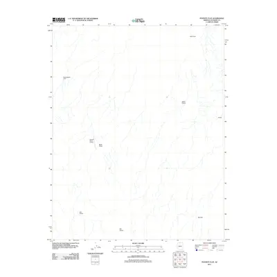
2011 Map of Poverty Flat
USGS Topo · Published 2011About this map
Sandhill Ranch Airport sits as a solitary point of modern infrastructure amidst the remote drainages of northern Coconino County. This part of the Arizona landscape is defined by its dramatic geologic depressions and alcoves, including Big Pocket, Red Pocket, and White Pocket. The terrain is characterized by complex hydrology and natural catchments like Big Sink and the winding course of Black Valley. To the north, the elevation is punctuated by Wolf Knoll, overlooking the broad expanse of Cottonwood Cove. This 2011 survey illustrates a land largely untouched by dense settlement, where topography and isolated ranching-related sites like Franks dictate the human footprint in the high desert.
Find a feature on this map
9 named features on this map. Tap any name to fly to it.
Don’t see what you’re looking for? This feature index may not catch every label — zoom into the map to look around manually.
Map Details
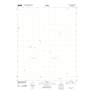
Editions of this 2011 Poverty Flat Map
2 editions found
Other maps of this area

1886 · Kanab
USGS Topo · 1:250,000

1886 · Escalante
USGS Topo · 1:250,000

1886 · Echo Cliffs
USGS Topo · 1:250,000

1886 · Kaibab
USGS Topo · 1:250,000

1891 · Echo Cliffs
USGS Topo · 1:250,000

1953 · Cedar City
USGS Topo · 1:250,000

1953 · Grand Canyon
USGS Topo · 1:250,000

1954 · Buckskin Gulch SE
USGS Topo · 1:24,000

1954 · Paria Plateau SE
USGS Topo · 1:24,000

1954 · Paria Plateau NW
USGS Topo · 1:24,000