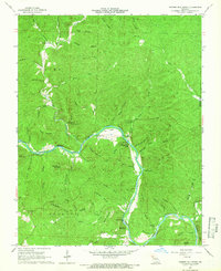
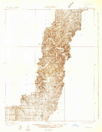
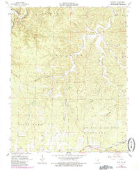
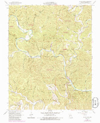
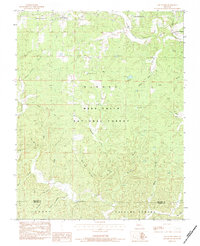
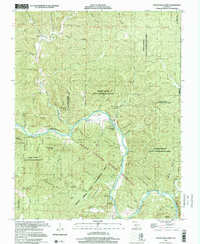
1965 Map of Powder Mill Ferry
USGS Topo · Published 1966This historical map portrays the area of Powder Mill Ferry in 1965, primarily covering Shannon County as well as portions of Reynolds County. Featuring a scale of 1:24000, this map provides a highly detailed snapshot of the terrain, roads, buildings, counties, and historical landmarks in the Powder Mill Ferry region at the time. Published in 1966, it is one of 4 known editions of this map due to revisions or reprints.
Find a feature on this map
63 named features on this map. Tap any name to fly to it.
Don’t see what you’re looking for? This feature index may not catch every label — zoom into the map to look around manually.
Map Details
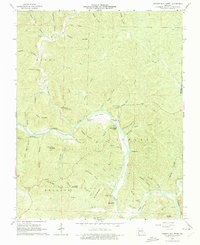
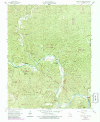
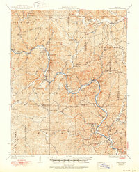
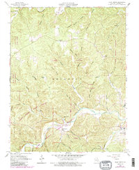
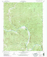
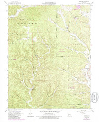
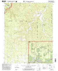
Editions of this 1965 Powder Mill Ferry Map
4 editions found
Historical Maps of Owls Bend Through Time
21 maps found
1928 Cardareva
Shannon County, MO
1932 Cedar Grove
Shannon County, MO
1945 Round Spring
Shannon County, MO

1947 Sinkin
Shannon County, MO

1949 Cardareva
Shannon County, MO

1949 Round Spring
Shannon County, MO
1951 Cedargrove
Shannon County, MO
1951 Lewis Hollow
Shannon County, MO
1964 Bartlett
Shannon County, MO
1965 Alley Spring
Shannon County, MO
1965 Powder Mill Ferry
Shannon County, MO
1966 Midridge
Shannon County, MO
1967 Round Spring
Shannon County, MO
1968 Jam Up Cave
Shannon County, MO
1968 Summersville NE
Shannon County, MO
1968 The Sinks
Shannon County, MO
1983 Low Wassie
Shannon County, MO
1986 Spring Valley
Shannon County, MO
1997 Bartlett
Shannon County, MO
1997 Low Wassie
Shannon County, MO
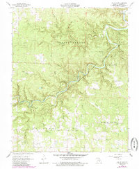
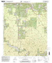
1997 Powder Mill Ferry
Shannon County, MO