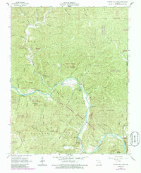
1965 Map of Powder Mill Ferry
USGS Topo · Published 1985About this map
The Current River carves a deep path through Shannon County in this mid-1960s survey, updated in the 1980s. This river corridor, protected as part of the Ozark National Scenic Riverways, is defined by a series of sharp meanders, notably at Owls Bend. Transportation across these waters was historically facilitated by the Powder Mill Ferry and the nearby Toll Ferry, reflecting an era before modern bridge infrastructure dominated the Missouri Ozarks.
Find a feature on this map
63 named features on this map. Tap any name to fly to it.
Don’t see what you’re looking for? This feature index may not catch every label — zoom into the map to look around manually.
Map Details
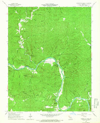
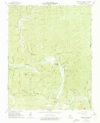
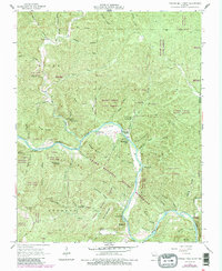
Editions of this 1965 Powder Mill Ferry Map
4 editions found
Other maps of this area

1915 · Eminence
USGS Topo · 1:62,500

1917 · Eminence
USGS Topo · 1:62,500

1928 · Cardareva
USGS Topo · 1:62,500

1944 · Corridon
USGS Topo · 1:62,500

1945 · Round Spring
USGS Topo · 1:62,500

1947 · Sinkin
USGS Topo · 1:48,000

1947 · Corridon
USGS Topo · 1:62,500

1949 · Round Spring
USGS Topo · 1:62,500

1949 · Rolla
USGS Topo · 1:250,000

1949 · Cardareva
USGS Topo · 1:62,500