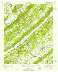
1952 Map of Powell
USGS Topo · Published 1955About this map
Chestnut Ridge, Copper Ridge, and Blackoak Ridge dictate the linear settlement patterns of this East Tennessee landscape, where narrow valleys have preserved a network of early rural institutions. The map reveals a high concentration of family cemeteries and small congregations, such as Lonesome Dove Church, Bethel Church, and the Sartin Cemetery, reflecting the area's deep genealogical roots. Along the Clinch River, industrial and governmental influence is evident at the TVA Forest Nursery and the Clinton-Oak Ridge Airport, marking the mid-century intersection of traditional ridge-and-valley farming with modern infrastructure. In the southeast, Powell appears as a growing crossroads centered on the Southern railroad, while the surrounding terrain remains dotted with landmarks like the Lakewood Swimming Pool and Bell Campground, illustrating the recreational and community life of the 1950s.
Find a feature on this map
87 named features on this map. Tap any name to fly to it.
Don’t see what you’re looking for? This feature index may not catch every label — zoom into the map to look around manually.
Map Details
Editions of this 1952 Powell Map
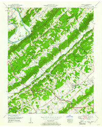
2 editions found
Other maps of this area

1886 · Knoxville
USGS Topo · 1:125,000

1892 · Knoxville
USGS Topo · 1:125,000

1893 · Briceville
USGS Topo · 1:125,000

1894 · Knoxville
USGS Topo · 1:125,000

1895 · Loudon
USGS Topo · 1:125,000

1895 · Briceville
USGS Topo · 1:125,000

1895 · Knoxville
USGS Topo · 1:125,000

1896 · Briceville
USGS Topo · 1:125,000

1897 · Maynardville
USGS Topo · 1:125,000

1900 · Maynardville
USGS Topo · 1:125,000