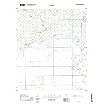
2018 Map of Powell Point
USGS Topo · Published 2018About this map
Big Saline Bayou and a dense network of waterways define this low-lying region where Rapides, Avoyelles, LaSalle, and Catahoula Parishes meet. The landscape is dominated by complex hydrography, featuring numerous sloughs and bayous that suggest a highly dynamic fluvial environment. Elevated landforms provide essential relief amidst the wetlands, including named features like Counterfeit Ridge, Gum Ridge, and Horse Island.
Find a feature on this map
43 named features on this map. Tap any name to fly to it.
Don’t see what you’re looking for? This feature index may not catch every label — zoom into the map to look around manually.
Map Details
Editions of this 2018 Powell Point Map
This is the sole edition of this map. No revisions or reprints were ever made.
Other maps of this area

1935 · Tooleys
USGS Topo · 1:62,500

1940 · Marksville
USGS Topo · 1:62,500

1941 · Voorhies
USGS Topo · 1:62,500

1941 · Buckeye
USGS Topo · 1:62,500

1941 · Tooleys
USGS Topo · 1:62,500

1953 · Alexandria
USGS Topo · 1:250,000

1953 · Natchez
USGS Topo · 1:250,000

1955 · Alexandria
USGS Topo · 1:250,000

1956 · Natchez
USGS Topo · 1:250,000

1959 · Natchez
USGS Topo · 1:250,000