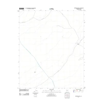
2011 Map of Powerline Well
USGS Topo · Published 2011About this map
The Central Arizona Project Aqueduct cuts diagonally through this arid section of La Paz County, representing a massive undertaking of modern hydraulic engineering in the Southwest. The terrain is characterized by the Cactus Plain, where water sources like Powerline Well were essential landmarks for desert travelers. The map shows the remote settlement of Midway at a junction of desert tracks, including Lincoln Ranch Rd and Swansea Rd. These routes, along with Swansea Mine Rd and Parker-Swansea Rd, provide evidence of the region's historic connection to mining activities in the surrounding mountains, where old trails were eventually formalized into the primitive road network seen in this 2011 survey.
Find a feature on this map
8 named features on this map. Tap any name to fly to it.
Don’t see what you’re looking for? This feature index may not catch every label — zoom into the map to look around manually.
Map Details
Editions of this 2011 Powerline Well Map
This is the sole edition of this map. No revisions or reprints were ever made.
Other maps of this area

1911 · Parker
USGS Topo · 1:125,000

1923 · Signal
USGS Topo · 1:250,000

1930 · Linskey
USGS Topo · 1:62,500

1942 · Signal
USGS Topo · 1:250,000

1942 · Blythe
USGS Topo · 1:250,000

1942 · Vicksburg
USGS Topo · 1:250,000

1950 · Prescott
USGS Topo · 1:250,000

1954 · Salton Sea
USGS Topo · 1:250,000

1954 · Needles
USGS Topo · 1:250,000

1954 · Prescott
USGS Topo · 1:250,000