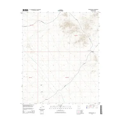
2014 Map of Powerline Well
USGS Topo · Published 2014About this map
Bouse and Midway anchor the landscape of the Cactus Plain in this 2014 survey of La Paz County. The terrain is defined by its industrial and utility infrastructure, most notably the prominent Central Arizona Project Aqueduct cutting across the western sections. This massive engineering work provides a stark contrast to the surrounding desert, representing the modern efforts to manage water resources in the arid Southwest. A network of primitive and improved roads, such as Swansea Rd and Swansea Mine Rd, snake through the hills and flats, tracing the paths of earlier prospecting and mining activity. The namesake Powerline Well sits near the junction of Powerline Rd and Lincoln Ranch Rd, serving as a critical waypoint for those navigating this sparse corridor between local settlements.
Find a feature on this map
13 named features on this map. Tap any name to fly to it.
Don’t see what you’re looking for? This feature index may not catch every label — zoom into the map to look around manually.
Map Details
Editions of this 2014 Powerline Well Map
This is the sole edition of this map. No revisions or reprints were ever made.
Other maps of this area

1911 · Parker
USGS Topo · 1:125,000

1923 · Signal
USGS Topo · 1:250,000

1930 · Linskey
USGS Topo · 1:62,500

1942 · Signal
USGS Topo · 1:250,000

1942 · Blythe
USGS Topo · 1:250,000

1942 · Vicksburg
USGS Topo · 1:250,000

1950 · Prescott
USGS Topo · 1:250,000

1954 · Salton Sea
USGS Topo · 1:250,000

1954 · Needles
USGS Topo · 1:250,000

1954 · Prescott
USGS Topo · 1:250,000