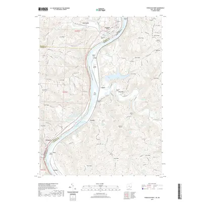
2019 Map of Powhatan Point
USGS Topo · Published 2019About this map
The Ohio River carves a deep valley between the borders of Ohio and West Virginia, anchoring a landscape defined by industrial activity and upland ridges. Along the river's bends lie settlements like Powhatan Point, Clarington, and Natrium, which serve as focal points for the region's transportation and industry. The western bank is marked by a sequence of significant water management features, including Quarto Mine Number Four Dam Number One and Dam Number Two, which sit just north of the village of Franklin.
Find a feature on this map
130 named features on this map. Tap any name to fly to it.
Don’t see what you’re looking for? This feature index may not catch every label — zoom into the map to look around manually.
Map Details
Editions of this 2019 Powhatan Point Map
This is the sole edition of this map. No revisions or reprints were ever made.
Other maps of this area

1903 · Littleton
USGS Topo · 1:62,500

1904 · Cameron
USGS Topo · 1:62,500

1905 · Littleton
USGS Topo · 1:62,500

1905 · Clarington
USGS Topo · 1:62,500

1906 · New Martinsville
USGS Topo · 1:62,500

1924 · New Martinsville
USGS Topo · 1:62,500

1924 · Littleton
USGS Topo · 1:62,500

1926 · Littleton
USGS Topo · 1:62,500

1926 · New Martinsville
USGS Topo · 1:62,500

1935 · Cameron
USGS Topo · 1:62,500