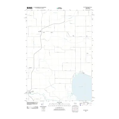
2010 Map of Poy Sippi
USGS Topo · Published 2010About this map
Poy Sippi and the surrounding rural landscapes of Waushara and Winnebago counties are defined by the convergence of the Pine River and the northwestern shores of Lake Poygan. The village of Poy Sippi anchors the southwest, where the Poy Sippi 1870C38 Dam regulates the river's flow before it meets the lake. This region is a study in traditional Wisconsin crossroads settlements, including Tustin on the lakefront and the inland communities of West Bloomfield, Metz, and Brushville.
Find a feature on this map
48 named features on this map. Tap any name to fly to it.
Don’t see what you’re looking for? This feature index may not catch every label — zoom into the map to look around manually.
Map Details
Editions of this 2010 Poy Sippi Map
This is the sole edition of this map. No revisions or reprints were ever made.
Other maps of this area

1955 · Green Bay
USGS Topo · 1:250,000

1956 · Weyauwega
USGS Topo · 1:48,000

1957 · Waupaca
USGS Topo · 1:48,000

1961 · Poy Sippi
USGS Topo · 1:62,500

1961 · Redgranite
USGS Topo · 1:62,500

1961 · Saxeville
USGS Topo · 1:24,000

1961 · Lake Poygan
USGS Topo · 1:24,000
1961 · Redgranite
USGS Topo · 1:24,000
1961 · Auroraville
USGS Topo · 1:24,000
1961 · Eureka
USGS Topo · 1:24,000