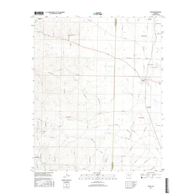
2017 Map of Poyen
USGS Topo · Published 2017About this map
Poyen and the surrounding timberlands of the Arkansas central corridor appear here along the corridor of Highway 229. The landscape is defined by its drainage systems, where Big Cr and Rhinehart Br cross a network of rural county roads. For those tracing local family lines, the map identifies the Cunningham Cem and Poyen Cem, alongside small residential clusters like Lenham and Fenter. A distinct legacy of the region's transport and industrial past is visible in the northwest through the Gifford Tram and Tram Cutoff, reflecting a history of moving materials across the low-lying creek basins of Thunder Br and Clear Cr. The boundary between Hot Spring and Grant Counties bisects the area, showing the transition between these two rural jurisdictions.
Find a feature on this map
86 named features on this map. Tap any name to fly to it.
Don’t see what you’re looking for? This feature index may not catch every label — zoom into the map to look around manually.
Map Details
Editions of this 2017 Poyen Map
This is the sole edition of this map. No revisions or reprints were ever made.
Other maps of this area

1948 · Malvern
USGS Topo · 1:62,500

1949 · Malvern
USGS Topo · 1:62,500

1955 · Little Rock
USGS Topo · 1:250,000

1956 · Little Rock
USGS Topo · 1:250,000

1960 · Little Rock
USGS Topo · 1:250,000

1963 · Traskwood
USGS Topo · 1:24,000

1963 · Prattsville
USGS Topo · 1:24,000
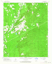
1963 · Tull
USGS Topo · 1:24,000

1964 · Poyen
USGS Topo · 1:24,000

1964 · Little Rock
USGS Topo · 1:250,000