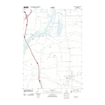
2010 Map of Poynette
USGS Topo · Published 2010About this map
Poynette and the riverside settlement of Dekorra define this Columbia County landscape, where the Wisconsin River and Baraboo River converge. The geography is marked by distinctive elevations such as Saint Lawrence Bluff, Whites Bluff, and Allen Bluff, which overlook a network of meandering waterways including Rowan Creek and Hinkson Creek. To the north, the industrial footprint of Lake Columbia sits near Lib Cross Island, contrasting with the numerous small family and community burial grounds that dot the countryside. Genealogists will find a high density of preserved records here, from the Hillside Cemetery in the south to the Pacific Cemetery and Inch Cemetery further north. The map also captures local transportation and aviation history with the Bancroft Landing Strip and a complex web of rural roads, including Saint Lawrence Bluff Rd and Thunderbird Rd, reflecting the area's transition from early river-based commerce to modern connectivity.
Find a feature on this map
63 named features on this map. Tap any name to fly to it.
Don’t see what you’re looking for? This feature index may not catch every label — zoom into the map to look around manually.
Map Details
Editions of this 2010 Poynette Map
This is the sole edition of this map. No revisions or reprints were ever made.
Other maps of this area

1895 · Baraboo
USGS Topo · 1:62,500

1901 · Poynette
USGS Topo · 1:62,500

1902 · Portage
USGS Topo · 1:62,500

1902 · Briggsville
USGS Topo · 1:62,500

1908 · Baraboo
USGS Topo · 1:62,500

1957 · Madison
USGS Topo · 1:250,000

1958 · Briggsville
USGS Topo · 1:62,500

1959 · Baraboo
USGS Topo · 1:62,500

1960 · Madison
USGS Topo · 1:250,000

1962 · Poynette
USGS Topo · 1:62,500