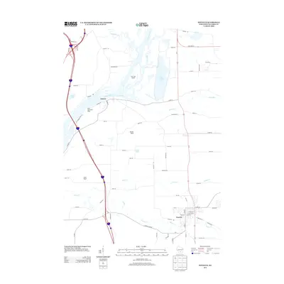
2013 Map of Poynette
USGS Topo · Published 2013About this map
Poynette and the historical riverfront at Dekorra define this landscape where the Wisconsin River meets a network of smaller tributaries. The map documents a complex aquatic environment featuring Lib Cross Island and the substantial waters of Lake Columbia, alongside numerous named creeks like Duck Creek, Rocky Run, and Rowan Cr. The terrain is punctuated by a series of prominent elevations, including Saint Lawrence Bluff, Whites Bluff, and Allen Bluff, which provide clear markers for the regional topography.
Find a feature on this map
71 named features on this map. Tap any name to fly to it.
Don’t see what you’re looking for? This feature index may not catch every label — zoom into the map to look around manually.
Map Details
Editions of this 2013 Poynette Map
This is the sole edition of this map. No revisions or reprints were ever made.
Other maps of this area

1895 · Baraboo
USGS Topo · 1:62,500

1901 · Poynette
USGS Topo · 1:62,500

1902 · Portage
USGS Topo · 1:62,500

1902 · Briggsville
USGS Topo · 1:62,500

1908 · Baraboo
USGS Topo · 1:62,500

1957 · Madison
USGS Topo · 1:250,000

1958 · Briggsville
USGS Topo · 1:62,500

1959 · Baraboo
USGS Topo · 1:62,500

1960 · Madison
USGS Topo · 1:250,000

1962 · Poynette
USGS Topo · 1:62,500