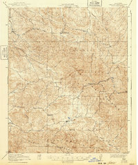
1922 Map of Pozo
USGS Topo · Published 1940About this map
Salinas River headwaters wind through this San Luis Obispo County landscape, surveyed between 1918 and 1919. The map centers on the small settlement of Pozo, situated near the confluence of Pozo Creek and the main river. This region of the Los Padres National Forest is defined by a network of rural schools that once served dispersed ranching families, including the Huerhuero School, Highland School, El Dorado School, and the New District School.
Find a feature on this map
27 named features on this map. Tap any name to fly to it.
Don’t see what you’re looking for? This feature index may not catch every label — zoom into the map to look around manually.
Map Details
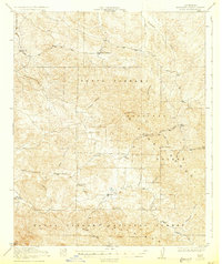
Editions of this 1922 Pozo Map
3 editions found
Other maps of this area

1897 · San Luis Obispo
USGS Topo · 1:62,500

1897 · Arroyo Grande
USGS Topo · 1:62,500

1900 · San Luis
USGS Topo · 1:125,000

1914 · Cholame
USGS Topo · 1:125,000

1915 · Cholame
USGS Topo · 1:125,000

1917 · Cholame
USGS Topo · 1:125,000

1919 · Paso Robles
USGS Topo · 1:62,500

1922 · Pozo
USGS Topo · 1:62,500

1922 · Nipomo
USGS Topo · 1:62,500

1932 · La Panza
USGS Topo · 1:48,000