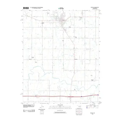
2010 Map of Prague
USGS Topo · Published 2010About this map
Prague's grid and surrounding Lincoln County landscape reflect the region's cultural heritage and energy history. The presence of the Barton Czech National Cemetery and Saint Wenceslaus Cemetery points to the area's specific ethnic settlement patterns. In the surrounding countryside, industrial activity is marked by the Prague Oil Field and West Prague Oil Field, indicating the ongoing importance of petroleum extraction to the local economy.
Find a feature on this map
45 named features on this map. Tap any name to fly to it.
Don’t see what you’re looking for? This feature index may not catch every label — zoom into the map to look around manually.
Map Details
Editions of this 2010 Prague Map
This is the sole edition of this map. No revisions or reprints were ever made.
Other maps of this area

1896 · Seminole and Prague
USGS Topo · 1:125,000

1905 · Chandler
USGS Topo · 1:62,500

1907 · Chandler
USGS Topo · 1:62,500

1909 · Shawnee
USGS Topo · 1:62,500

1929 · Stroud
USGS Topo · 1:62,500

1932 · Stroud
USGS Topo · 1:62,500

1954 · Oklahoma City
USGS Topo · 1:250,000

1957 · Oklahoma City
USGS Topo · 1:250,000

1963 · Oklahoma City
USGS Topo · 1:250,000

1967 · Prague SW
USGS Topo · 1:24,000