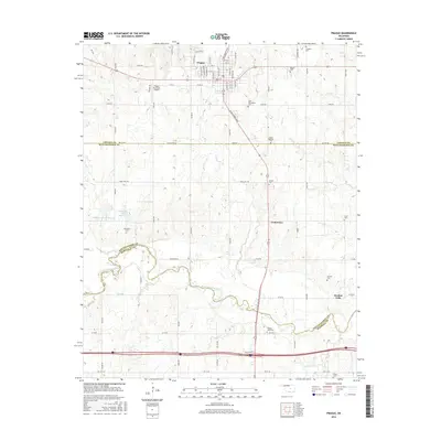
2016 Map of Prague
USGS Topo · Published 2016About this map
Prague's Central Oklahoma landscape is defined by its deep cultural roots and the winding path of the North Canadian River. This modern survey illustrates the settlement's layout, centered on Main St and the intersecting N Jim Thorpe Blvd, while highlighting a remarkable density of burial sites that reflect the area's diverse heritage. From the Czech National Cem and Saint Wenceslaus Cem near the town center to the Keokuk Cem and McKosato Cem further afield, the map provides a vital tool for genealogists tracking family history across Lincoln and Pottawatomie counties. The southern reaches of the map show the rural character around Keokuk Falls and Centerview, where the terrain is carved by numerous tributaries including Shun Cr, Rock Cr, and Turkey Cr.
Find a feature on this map
78 named features on this map. Tap any name to fly to it.
Don’t see what you’re looking for? This feature index may not catch every label — zoom into the map to look around manually.
Map Details
Editions of this 2016 Prague Map
This is the sole edition of this map. No revisions or reprints were ever made.
Other maps of this area

1896 · Seminole and Prague
USGS Topo · 1:125,000

1905 · Chandler
USGS Topo · 1:62,500

1907 · Chandler
USGS Topo · 1:62,500

1909 · Shawnee
USGS Topo · 1:62,500

1929 · Stroud
USGS Topo · 1:62,500

1932 · Stroud
USGS Topo · 1:62,500

1954 · Oklahoma City
USGS Topo · 1:250,000

1957 · Oklahoma City
USGS Topo · 1:250,000

1963 · Oklahoma City
USGS Topo · 1:250,000

1967 · Prague SW
USGS Topo · 1:24,000