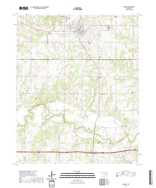
2022 Map of Prague
USGS Topo · Published 2022About this map
Prague serves as the focal point of this survey, where the town's heritage is deeply etched into the landscape through its numerous community burial grounds. Several specialized cemeteries, including the Prague Catholic Cem and the Czech National Cem, reflect the cultural history of the area. The landscape transitions southward through Centerview toward the North Canadian River, which forms a complex, winding boundary between Lincoln, Pottawatomie, and Seminole counties. This river corridor, flanked by Keokuk Falls, shows the importance of water access for early settlements in this central Oklahoma region.
Find a feature on this map
81 named features on this map. Tap any name to fly to it.
Don’t see what you’re looking for? This feature index may not catch every label — zoom into the map to look around manually.
Map Details
Editions of this 2022 Prague Map
This is the sole edition of this map. No revisions or reprints were ever made.
Other maps of this area

1896 · Seminole and Prague
USGS Topo · 1:125,000

1905 · Chandler
USGS Topo · 1:62,500

1907 · Chandler
USGS Topo · 1:62,500

1909 · Shawnee
USGS Topo · 1:62,500

1929 · Stroud
USGS Topo · 1:62,500

1932 · Stroud
USGS Topo · 1:62,500

1954 · Oklahoma City
USGS Topo · 1:250,000

1957 · Oklahoma City
USGS Topo · 1:250,000

1963 · Oklahoma City
USGS Topo · 1:250,000

1967 · Prague SW
USGS Topo · 1:24,000