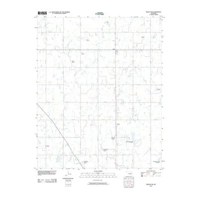
2010 Map of Prague SW
USGS Topo · Published 2010About this map
Oil production infrastructure and rural cemetery sites define this landscape in Seminole County during the early 21st century. The map reveals an area where the energy industry remains a primary land use, evidenced by the expansive Keokuk Oil Field, Searight Oil Field, and Earlsboro Oil Field. These industrial zones are interspersed with established local landmarks, including the Payne Cemetery and Bruner Cemetery, which serve as important touchstones for local genealogical research.
Find a feature on this map
40 named features on this map. Tap any name to fly to it.
Don’t see what you’re looking for? This feature index may not catch every label — zoom into the map to look around manually.
Map Details
Editions of this 2010 Prague SW Map
This is the sole edition of this map. No revisions or reprints were ever made.
Other maps of this area

1896 · Seminole and Prague
USGS Topo · 1:125,000

1907 · Maud
USGS Topo · 1:62,500

1908 · Maud
USGS Topo · 1:62,500

1909 · Shawnee
USGS Topo · 1:62,500

1954 · Oklahoma City
USGS Topo · 1:250,000

1957 · Oklahoma City
USGS Topo · 1:250,000

1963 · Oklahoma City
USGS Topo · 1:250,000

1967 · Prague SW
USGS Topo · 1:24,000
1967 · Earlsboro
USGS Topo · 1:24,000

1967 · Prague NE
USGS Topo · 1:24,000