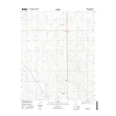
2016 Map of Prague SW
USGS Topo · Published 2016About this map
Seminole serves as the primary hub in this Oklahoma survey, situated at the southern edge of a landscape defined by water management and small agricultural settlements. The northern reaches of the city extend toward the Seminole Municipal Airport, while the surrounding terrain is heavily shaped by the Big Wewoka Creek watershed. A series of flood control structures, including the Big Wewoka Creek Site 9 Reservoir, Big Wewoka Creek Site 5 Reservoir, and Big Wewoka Creek Site 3 Reservoir, dictate the local topography. Further north, the settlement of Little sits at a crossroads, preserving local heritage through the Little Cem, while Bruner Cem and Payne Cem are found along the rural sections of Turkey Cr. The grid of section roads, such as ns3540 RD and Ew 1160 RD, connects these outlying homesteads and family cemeteries.
Find a feature on this map
40 named features on this map. Tap any name to fly to it.
Don’t see what you’re looking for? This feature index may not catch every label — zoom into the map to look around manually.
Map Details
Editions of this 2016 Prague SW Map
This is the sole edition of this map. No revisions or reprints were ever made.
Other maps of this area

1896 · Seminole and Prague
USGS Topo · 1:125,000

1907 · Maud
USGS Topo · 1:62,500

1908 · Maud
USGS Topo · 1:62,500

1909 · Shawnee
USGS Topo · 1:62,500

1954 · Oklahoma City
USGS Topo · 1:250,000

1957 · Oklahoma City
USGS Topo · 1:250,000

1963 · Oklahoma City
USGS Topo · 1:250,000

1967 · Prague SW
USGS Topo · 1:24,000
1967 · Earlsboro
USGS Topo · 1:24,000

1967 · Prague NE
USGS Topo · 1:24,000