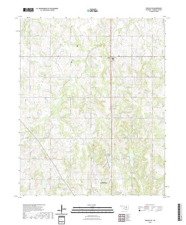
2022 Map of Prague SW
USGS Topo · Published 2022About this map
Seminole and the rural community of Little anchor this 2022 survey of Seminole County. The landscape is defined by a dense network of sectional roads and the meandering courses of Magnolia Creek, Turkey Cr, and Goodwater Creek. For family historians and local researchers, several established burial grounds provide important geographic markers, including Payne Cem, Mount Zion Cem, and Little Cem. Aviation infrastructure is represented by the Seminole Municipal Airport situated north of the city center. The map reveals a transition from the urban grid of northern Seminole to the surrounding agricultural and industrial parcels. Significant local thoroughfares like N Milt Phillips Ave and Goodhope Rd connect these outlying settlements, while drainage features like Carter Cr and Snake Cr shape the low-lying terrain of the Oklahoma plains.
Find a feature on this map
49 named features on this map. Tap any name to fly to it.
Don’t see what you’re looking for? This feature index may not catch every label — zoom into the map to look around manually.
Map Details
Editions of this 2022 Prague SW Map
This is the sole edition of this map. No revisions or reprints were ever made.
Other maps of this area

1896 · Seminole and Prague
USGS Topo · 1:125,000

1907 · Maud
USGS Topo · 1:62,500

1908 · Maud
USGS Topo · 1:62,500

1909 · Shawnee
USGS Topo · 1:62,500

1954 · Oklahoma City
USGS Topo · 1:250,000

1957 · Oklahoma City
USGS Topo · 1:250,000

1963 · Oklahoma City
USGS Topo · 1:250,000

1967 · Prague SW
USGS Topo · 1:24,000
1967 · Earlsboro
USGS Topo · 1:24,000

1967 · Prague NE
USGS Topo · 1:24,000