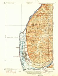
1932 Map of Prairie Du Chien
USGS Topo · Published 1946About this map
The complex confluence of the Mississippi River and the Wisconsin River dominates this 1929 survey, revealing a landscape of intricately braided channels and prominent ridges. The river bottomlands are a maze of islands and sloughs, including Ambrough Slough, Marais Lake, and the winding Roseau Channel. This network of water stands in sharp contrast to the high, dissected plateaus of Seneca and Eastman, where steep-walled valleys like Limery Coulee and Morgan Hollow carve into the upland.
Find a feature on this map
72 named features on this map. Tap any name to fly to it.
Don’t see what you’re looking for? This feature index may not catch every label — zoom into the map to look around manually.
Map Details
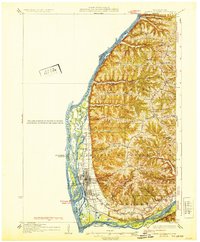
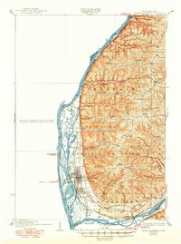
Editions of this 1932 Prairie Du Chien Map
4 editions found

Other maps of this area

1900 · Lancaster
USGS Topo · 1:125,000

1902 · Elkader
USGS Topo · 1:125,000

1903 · Waukon
USGS Topo · 1:125,000

1904 · Lancaster
USGS Topo · 1:125,000

1908 · Lancaster
USGS Topo · 1:125,000

1924 · Gays Mills
USGS Topo · 1:62,500

1926 · Gays Mills
USGS Topo · 1:62,500

1926 · Wauzeka
USGS Topo · 1:62,500

1929 · Ferryville
USGS Topo · 1:62,500

1929 · Prairie Du Chien
USGS Topo · 1:62,500