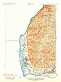
1932 Map of Prairie Du Chien
USGS Topo · Published 1950About this map
The confluence of the Mississippi River and the Wisconsin River dominates this 1932 topographic survey of Crawford County. The city of Prairie Du Chien sits on the flat river terrace, supported by the intersecting rail lines of the Chicago Burlington and Quincy and the Chicago Milwaukee St Paul and Pacific. The landscape transitions sharply from the complex maze of islands and backwaters like Ambrough Slough and Sturgeon Lake to the high, dissected plateaus of Wauzeka Ridge and Irish Ridge.
Find a feature on this map
67 named features on this map. Tap any name to fly to it.
Don’t see what you’re looking for? This feature index may not catch every label — zoom into the map to look around manually.
Map Details
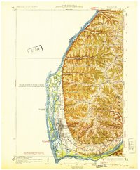
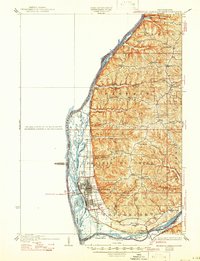
Editions of this 1932 Prairie Du Chien Map
4 editions found

Other maps of this area

1900 · Lancaster
USGS Topo · 1:125,000

1902 · Elkader
USGS Topo · 1:125,000

1903 · Waukon
USGS Topo · 1:125,000

1904 · Lancaster
USGS Topo · 1:125,000

1908 · Lancaster
USGS Topo · 1:125,000

1924 · Gays Mills
USGS Topo · 1:62,500

1926 · Gays Mills
USGS Topo · 1:62,500

1926 · Wauzeka
USGS Topo · 1:62,500

1929 · Ferryville
USGS Topo · 1:62,500

1929 · Prairie Du Chien
USGS Topo · 1:62,500