
1932 Map of Prairie Du Chien
USGS Topo · Published 1932About this map
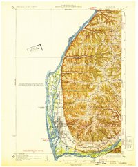
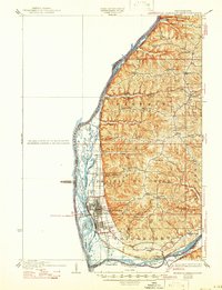
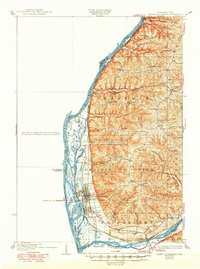
Mississippi River islands and intricate sloughs dominate the western edge of this 1932 Crawford County landscape, where the Wisconsin River joins from the south. The city of Prairie du Chien serves as the regional hub, situated on the terrace above the floodplains and served by the Chicago Milwaukee St Paul and Pacific railroad. The map reveals a highly structured upland agricultural society defined by topographic ridges, where numerous small schools such as Wall Ridge Sch, Bonney Sch, and Sevenmile Sch anchored local neighborhoods. In the north, Lynxville sits tight against the river bluffs, while the interior is marked by hamlets like Eastman and Hazen Corners. This era shows the early numbered highway system, including Highway No 35, weaving through the coulees and ridges before the modernization of the river's lock and dam system significantly altered the shoreline.
Find a feature on this map
63 named features on this map. Tap any name to fly to it.
Don’t see what you’re looking for? This feature index may not catch every label — zoom into the map to look around manually.
Map Details
Editions of this 1932 Prairie Du Chien Map
4 editions found
Other maps of this area

1900 · Lancaster
USGS Topo · 1:125,000

1902 · Elkader
USGS Topo · 1:125,000

1903 · Waukon
USGS Topo · 1:125,000

1904 · Lancaster
USGS Topo · 1:125,000

1908 · Lancaster
USGS Topo · 1:125,000

1924 · Gays Mills
USGS Topo · 1:62,500

1926 · Gays Mills
USGS Topo · 1:62,500

1926 · Wauzeka
USGS Topo · 1:62,500

1929 · Ferryville
USGS Topo · 1:62,500

1929 · Prairie Du Chien
USGS Topo · 1:62,500