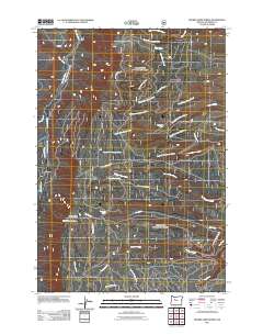
2011 Map of Prairie Farm Spring
USGS Topo · Published 2011About this map
Green Ridge dominates the western landscape of this Jefferson County region, serving as a high-elevation backdrop for a complex network of forest roads and drainages. The Green Ridge Lookout Tower stands as a primary landmark, overlooking the descent toward the Metolius River and Bridge 99 on the quadrangle's western edge. The terrain is defined by its water sources and timber camps, notably Sugar Pine Camp and the namesake Prairie Farm Spring.
Find a feature on this map
35 named features on this map. Tap any name to fly to it.
Don’t see what you’re looking for? This feature index may not catch every label — zoom into the map to look around manually.
Map Details
Editions of this 2011 Prairie Farm Spring Map
This is the sole edition of this map. No revisions or reprints were ever made.
Other maps of this area

1926 · Bend
USGS Topo · 1:125,000

1927 · Mt. Jefferson
USGS Topo · 1:125,000

1928 · Madras
USGS Topo · 1:125,000

1929 · Bend
USGS Topo · 1:125,000

1929 · Three Sisters
USGS Topo · 1:125,000

1930 · Mt. Jefferson
USGS Topo · 1:125,000

1931 · Madras
USGS Topo · 1:125,000

1932 · Three Sisters
USGS Topo · 1:125,000

1955 · Bend
USGS Topo · 1:250,000

1957 · Bend
USGS Topo · 1:250,000