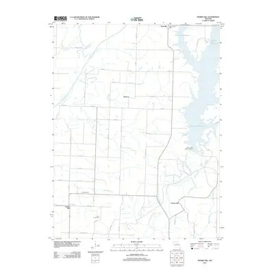
2012 Map of Prairie Hill
USGS Topo · Published 2012About this map
Thomas Hill Reservoir dominates the eastern landscape of this Randolph County region, its irregular shoreline formed by the flooding of the Middle Fork Little Chariton River. The massive Thomas Hill Reservoir Dam stands as a significant engineering feature near the small community of Thomas Hill. To the west, the rural character remains intact, defined by the winding course of the Chariton River and its tributaries like Puzzle Creek and Kelley Branch.
Find a feature on this map
45 named features on this map. Tap any name to fly to it.
Don’t see what you’re looking for? This feature index may not catch every label — zoom into the map to look around manually.
Map Details
Editions of this 2012 Prairie Hill Map
This is the sole edition of this map. No revisions or reprints were ever made.
Other maps of this area

1890 · Glasgow
USGS Topo · 1:125,000

1953 · Moberly
USGS Topo · 1:250,000

1953 · Huntsville
USGS Topo · 1:24,000

1953 · Bevier South
USGS Topo · 1:24,000

1953 · College Mound
USGS Topo · 1:24,000

1953 · Clifton Hill
USGS Topo · 1:24,000

1953 · Prairie Hill
USGS Topo · 1:24,000

1953 · Lagonda
USGS Topo · 1:24,000

1953 · Wien
USGS Topo · 1:24,000

1953 · Bynumville
USGS Topo · 1:24,000