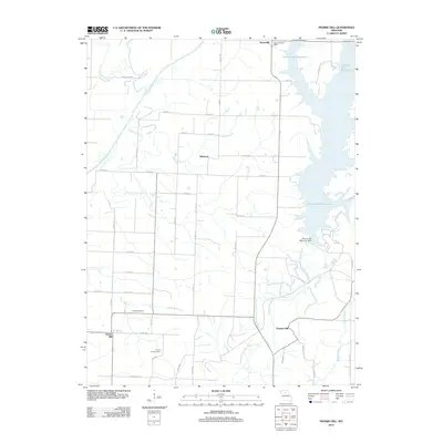
2021 Map of Prairie Hill
USGS Topo · Published 2021About this map
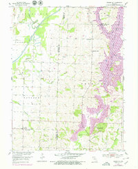
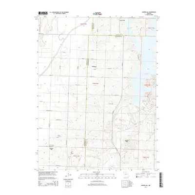
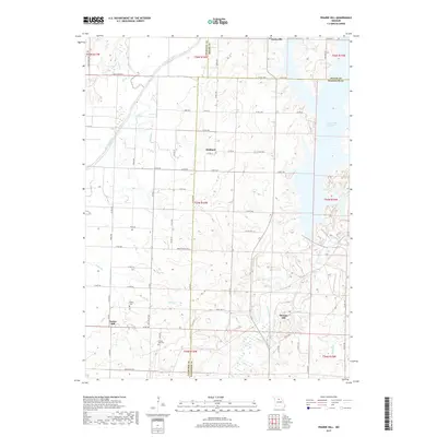
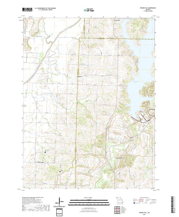
Prairie Hill and its surrounding countryside are defined by a complex intersection of county lines and waterways where Chariton, Macon, and Randolph counties meet. The landscape is dominated by the sprawling Thomas Hill Reservoir on the eastern edge, which dramatically reshaped the drainage of the Middle Fork Little Chariton River. Further west, the Chariton River and its tributaries like Puzzle Creek and Kelley Branch wind through the terrain, illustrating the hydrologic character of the region.
Find a feature on this map
64 named features on this map. Tap any name to fly to it.
Don’t see what you’re looking for? This feature index may not catch every label — zoom into the map to look around manually.
Map Details
Editions of this 2021 Prairie Hill Map
This is the sole edition of this map. No revisions or reprints were ever made.
Historical Maps of Hubbard Through Time
5 maps found