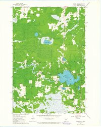
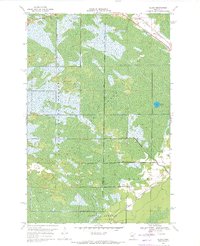
1963 Map of Prairie Lake
USGS Topo · Published 1964About this map
Glacial lakes and marshlands define the landscape of northern Minnesota where the St Louis Co Carlton Co line divides the terrain. This 1963 survey captures the rural character of Halden and Floodwood townships, centered on the complex shoreline of Prairie Lake. The Prairie River meanders through the wetlands, connecting a series of smaller water bodies such as Leeman Lake and Moberg Lake. Settlement is sparse, concentrated primarily along section lines where a local Townhall and the Prairie Lake Cem serve the scattered residents of the Prairie Lake and Fine Lakes areas. The map reveals the importance of the local environment for resource extraction and community life, featuring several Gravel Pits and the Fine Lake Cem near the eastern wetlands. This detailed record preserves the footprint of a remote lake-country community before modern development altered its traditional rural layout.
Find a feature on this map
19 named features on this map. Tap any name to fly to it.
Don’t see what you’re looking for? This feature index may not catch every label — zoom into the map to look around manually.
Map Details
Editions of this 1963 Prairie Lake Map
This is the sole edition of this map. No revisions or reprints were ever made.
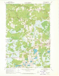
Other maps of this area

1953 · Duluth
USGS Topo · 1:250,000

1958 · Duluth
USGS Topo · 1:250,000
1961 · Cromwell
USGS Topo · 1:62,500

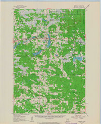
1963 · Gowan
USGS Topo · 1:24,000
1963 · Mc Carty River
USGS Topo · 1:24,000
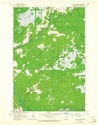
1963 · Floodwood
USGS Topo · 1:24,000
1969 · Island
USGS Topo · 1:24,000
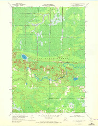
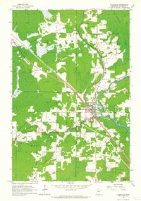
1970 · Little Prairie Lake
USGS Topo · 1:24,000
1970 · Wright
USGS Topo · 1:24,000

1980 · Duluth
USGS Topo · 1:100,000