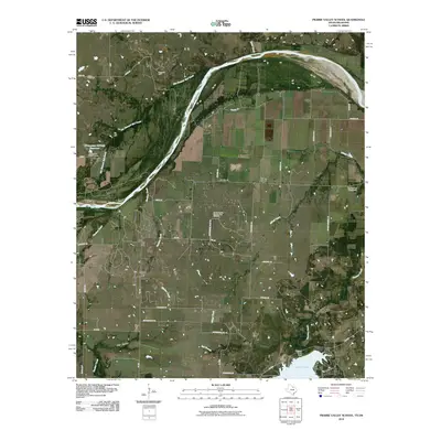
2010 Map of Prairie Valley School
USGS Topo · Published 2010About this map
Hynds City and the small settlements of Rowland and Valley View anchor this North Texas landscape just south of the Oklahoma border. The area is defined by the winding course of the Red River, which carves the northern boundary of the map, alongside the distinct path of the Old Channel Red Creek. The southern portion of the sheet is dominated by the waters of Lake Nocona, held by the Farmers Creek Dam.
Find a feature on this map
45 named features on this map. Tap any name to fly to it.
Don’t see what you’re looking for? This feature index may not catch every label — zoom into the map to look around manually.
Map Details
Editions of this 2010 Prairie Valley School Map
This is the sole edition of this map. No revisions or reprints were ever made.
Other maps of this area

1901 · Addington
USGS Topo · 1:125,000

1905 · Montague
USGS Topo · 1:125,000

1954 · Sherman
USGS Topo · 1:250,000

1957 · Ardmore
USGS Topo · 1:250,000

1958 · Sherman
USGS Topo · 1:250,000

1962 · Ryan
USGS Topo · 1:62,500

1963 · Ardmore
USGS Topo · 1:250,000
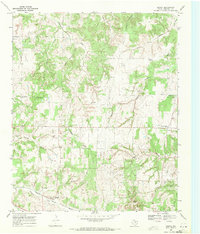
1968 · Bonita
USGS Topo · 1:24,000
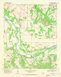
1968 · Spanish Fort
USGS Topo · 1:24,000

1968 · Nocona
USGS Topo · 1:24,000