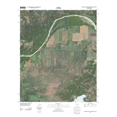
2013 Map of Prairie Valley School
USGS Topo · Published 2013About this map
The Red River defines the borderlands of Montague County in this survey, where the river's dynamic history is visible through the Old Channel Red Cr and shifting banks. This region is a landscape of energy production and rural education, anchored by the Oscar Oil Field in the north and the Nocona North Spanish Fort Oil Field near the center. The eponymous Prairie Valley School serves as a central landmark for the surrounding communities of Hynds City, Rowland, and Valley View.
Find a feature on this map
53 named features on this map. Tap any name to fly to it.
Don’t see what you’re looking for? This feature index may not catch every label — zoom into the map to look around manually.
Map Details
Editions of this 2013 Prairie Valley School Map
This is the sole edition of this map. No revisions or reprints were ever made.
Other maps of this area

1901 · Addington
USGS Topo · 1:125,000

1905 · Montague
USGS Topo · 1:125,000

1954 · Sherman
USGS Topo · 1:250,000

1957 · Ardmore
USGS Topo · 1:250,000

1958 · Sherman
USGS Topo · 1:250,000

1962 · Ryan
USGS Topo · 1:62,500

1963 · Ardmore
USGS Topo · 1:250,000
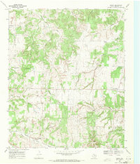
1968 · Bonita
USGS Topo · 1:24,000
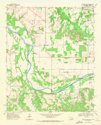
1968 · Spanish Fort
USGS Topo · 1:24,000

1968 · Nocona
USGS Topo · 1:24,000